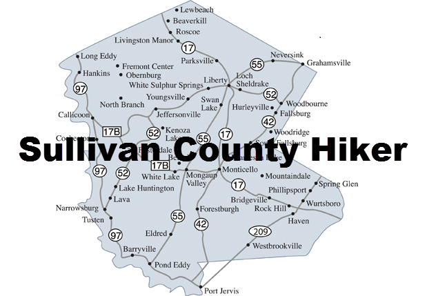
Long Pond Area
- + Map Explanation
For each area you will find an interactive map and a description of the hikes in that area.
On the map you may:
- Click on the name of the hike in the legend to turn hikes ON and OFF
- Click on the arrow next to the name of the hike in the legend to center the map on that hike
- Hover over a marker on the map to see a picture from that location
- Use the + and - to zoom IN and OUT
- Hold down the left mouse button while over the map and drag the map around
Hovering over the hike's Difficulty Rating will show a reason for the rating.
- +Driving Directions
Getting There: From the east exit State Route 17 at Exit 96W and turn left on DeBruce Road near the caboose. From the west exit State Route 17 at Exit 96E and turn right on White Roe Lake Road. Drive to the T intersection and turn left on Old Rt 17. Turn left at the next intersection onto DeBruce Road. Drive under State Route 17 to the caboose. From the caboose drive 10.1 miles to Flugertown Road on the left. Turn left on Flugertown Road and stay left as you drive .85 miles to the parking area on the right.
Long Pond Out and Back
| Quick Look | ||||
|---|---|---|---|---|
| Difficulty | Round trip | Trailhead Coordinates | PDF Map | |
| Easy | 2.3 mi | N41.9338 W74.6496 | Map | |
- + Hike Description
Start the hike by walking over the bridge just passed the trail register box and up the hill on the snowmobile and hiking trail. The first part of the trail is a short ascent. The trail levels off at the top of the hill and after about a mile, turn right and walk down to the pond on an unmarked but obvious path. This is the nicest view of the pond that is right on the trail. When you are done, walk back up to the main trail and turn left. Retrace your steps to the car enjoying the long downhill!
Long Pond Short Loop
| Quick Look | ||||
|---|---|---|---|---|
| Difficulty | Round trip | Trailhead Coordinates | PDF Map | |
| Moderate | 3.5 mi | N41.9338 W74.6496 | Map | |
- + Hike Description
Start the hike by walking over the bridge and up the hill on the snowmobile and hiking trail. The first part of the trail is a short ascent. After about a mile, turn right and walk down to the pond. This is the nicest view of the pond that is right on the trail. Another .25 miles will bring you to a T trail junction. Turn left and walk north toward the road. The trail descends almost 200 feet along the way. Descend to the bridges across the streams and follow one of the paths out to Flugertown Road. During the winter the road will be covered in ice and snow. In the other seasons it is a dirt and gravel road with a few pullouts to park cars. Turn left to start the loop back to the parking area. Since the road is lightly traveled it is almost like walking on a nice flat trail but watch out for the occasional car. The walk back along the road is a little more than 1.5 miles and goes very quickly.
Long Pond Complete Loop
| Quick Look | ||||
|---|---|---|---|---|
| Difficulty | Round trip | Trailhead Coordinates | PDF Map | |
| Strenuous | 6.0 mi | N41.9338 W74.6496 | Map | |
- + Hike Description
Start the hike by walking over the bridge and up the hill on the snowmobile and hiking trail. The first part of the trail is a short ascent. After about a mile, turn right and walk down to the pond. This is the nicest view of the pond that is right on the trail. Another .25 miles will bring you to a T trail junction. Turn right on the red blazed Long Pond-Beaverkill Ridge Trail and follow the red blazes. At 1.85 miles a spur trail to the lean-to appears on the right. Continue on the main trail until it intersects Basily Road at 2.85 miles. Turn left on Basily Road and continue to follow the road from this point on. There will be no more trail blazes as the route follows local roads. At 3.4 miles the road crosses a small stream which is associated with a beaver pond and marshy area. A local hunting camp owns this land but they have given permission for hikers to cross their property. Be sure to walk on the road and head for the bridge over Willowemoc Creek. Just after crossing the bridge the road makes a sharp left. Continue to follow the road which at some point changes names from Basily Road to Flugertown Road. At 4.4 miles the Long Pond-Beaverkill Ridge Trail crosses the road. Continue on the dirt and gravel road to 5.5 miles where the road becomes paved. Walk another .5 miles down the road to the parking area on the left.