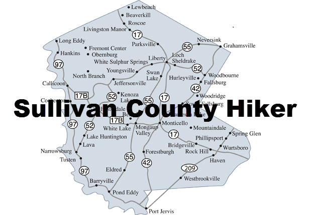
Tusten Mountain Area
- + Map Explanation
For each area you will find an interactive map and a description of the hikes in that area.
On the map you may:
- Click on the name of the hike in the legend to turn hikes ON and OFF
- Click on the arrow next to the name of the hike in the legend to center the map on that hike
- Hover over a marker on the map to see a picture from that location
- Use the + and - to zoom IN and OUT
- Hold down the left mouse button while over the map and drag the map around
Hovering over the hike's Difficulty Rating will show a reason for the rating.
- +Driving Directionss
From the north, head south on Route 97 from Narrowsburg, NY. From the intersection of Route 97 and Route 52 drive 4.5 miles south to Crawford Road on the right. Turn right on Crawford Road. From the south, head north on Route 97 from Barryville, NY. From the intersection of Route 97 and Route 55 drive 10.1 miles north to Crawford Road on the left. Turn left onto Crawford Road. Drive .3 miles on Crawford Road to the access to the parking area on the right. Park in the lot.
Tusten Mountain Trail
| Quick Look | ||||
|---|---|---|---|---|
| Difficulty | Round trip | Trailhead Coordinates | PDF Map | |
| Moderate | 3.1 mi | N42.5544 W75.0192 | Map | |
- + Hike Description
Walk out the north end of the parking area on Tusten Road which runs parallel to the river. Tusten Road which is only open to vehicle traffic from April to December. In about .2 miles you will cross a stone arch bridge. Follow the red TMR (Ten Mile River) and yellow (Scouting symbol) blazes along Tusten Road until a sign points to the right where the trail enters the woods on the right at about .7 miles. Along the way you will notice a lean-to and tent camping area. There is also a quarry, the first of many, on the right side of the road. As soon as you turn into the woods you will find the register box for the trail. Turn left at the register box and hike to about 1.1 miles. You will gain most of your elevation to this point. Watch for another quarry on the left in the woods as the trail starts to level. At about 1.2 miles you should come across a sign that points to the lookout which is just ahead after a short climb. From the lookout you can see the Delaware River in the distance. Continue on the trail and down the other side of the hill. There will be various small quarries along the way. At about 1.4 miles there will be a large pile of stone on the left from a quarry further up the hill. At the base of a short descent will be another quarry on the right. Turn left and the trail will continue north briefly and then make a nearly 180 degree turn to the south to head back to the trailhead. Along the way you will notice DEC signs that mark the area on the right as "Restricted". At about 2 miles a trail will come in from the right. Continue on the main trail back to the register box at 2.5 miles. Turn left and walk south along Tusten Road for .6 miles to get back to the parking area.